Overlay and Texture Tools
Overlay Tools
There are two overlay tools in the SURE Editor. One overlays True Ortho images on the DSM Mesh while the other one overlays one of the original images. Both tools have keyboard shortcuts but can be accessed through the Image Overlay Toolbar:
True Ortho Overlay
Activate/deactivate the True Ortho Overlay by clicking the ‘True Ortho’ button or pressing 'O'.
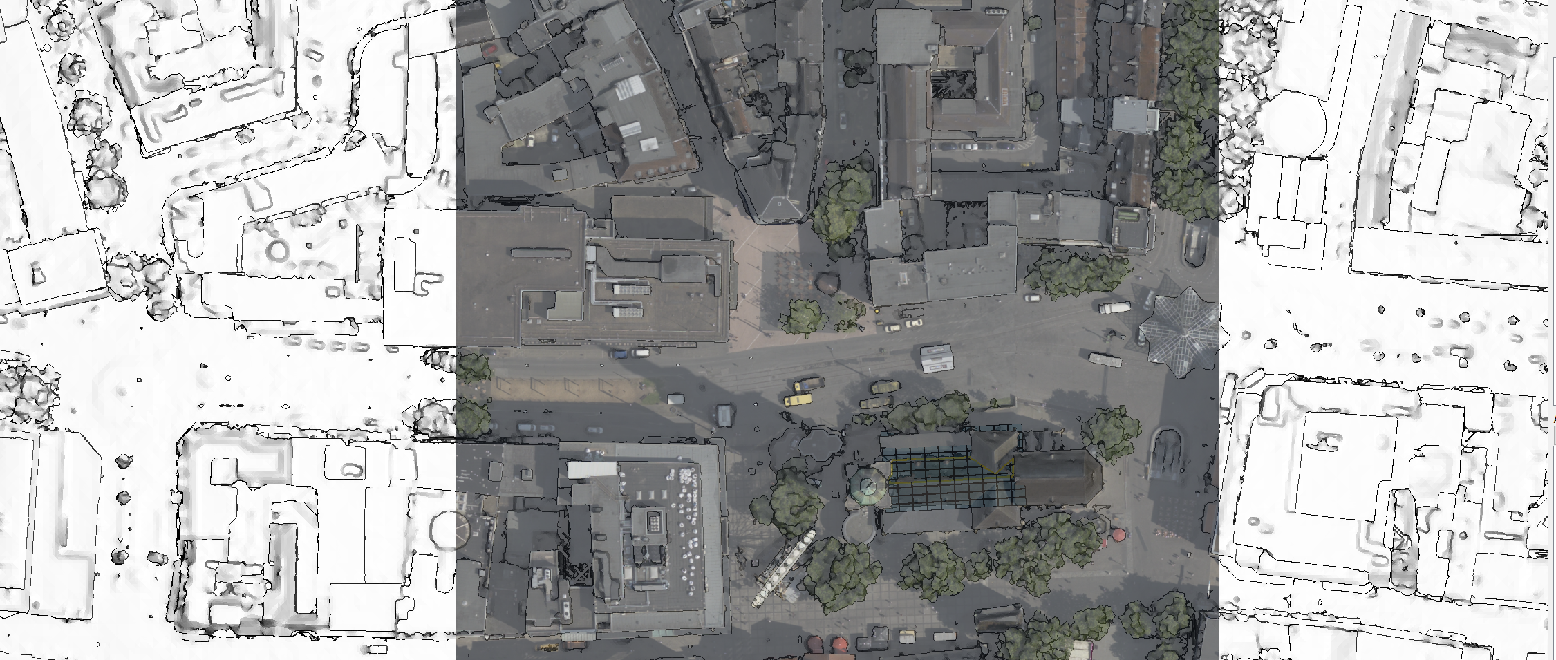
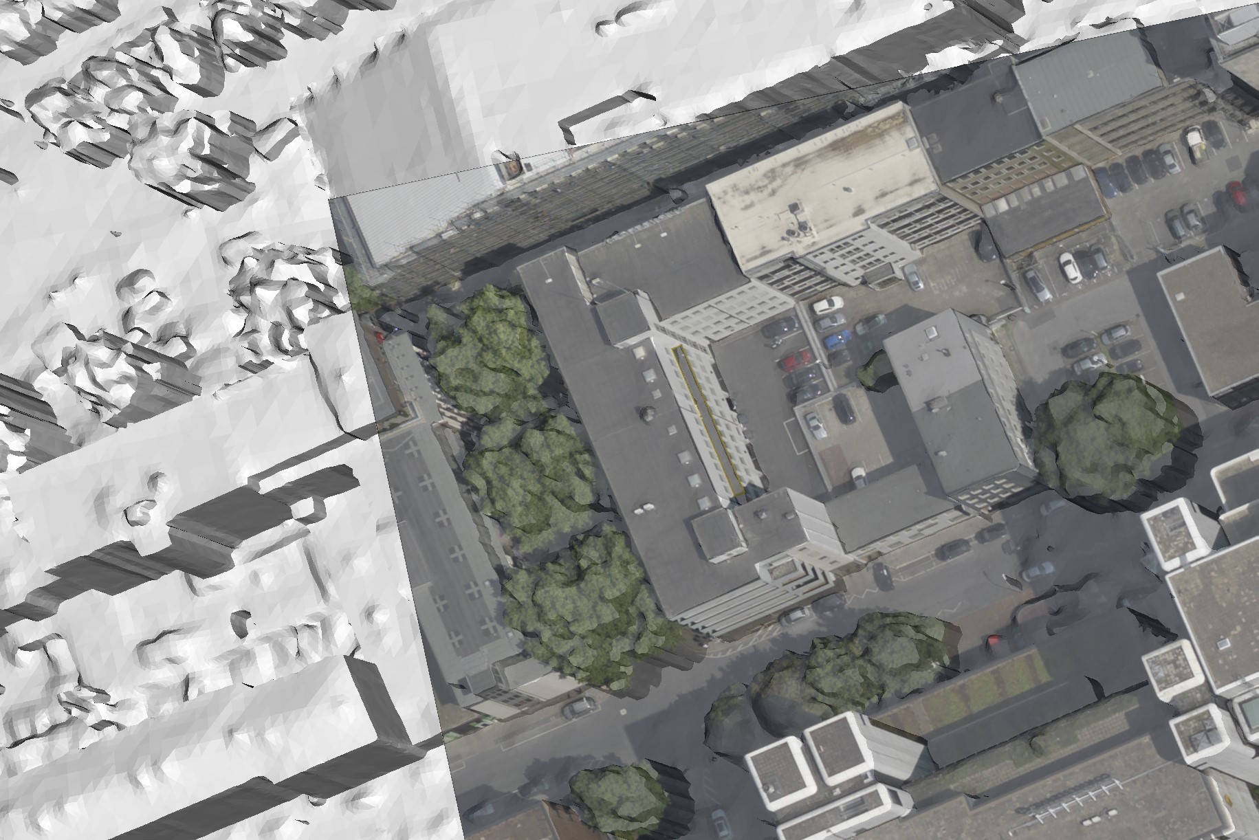
This tool is intended to assist in the digitization of polygons where corners or edges of buildings are not clearly visible in the untextured DSM Mesh. This tool overlays True Ortho images onto the DSM Mesh and aligns the DSM Mesh in the North direction. The images below show an example of how this tool is used.
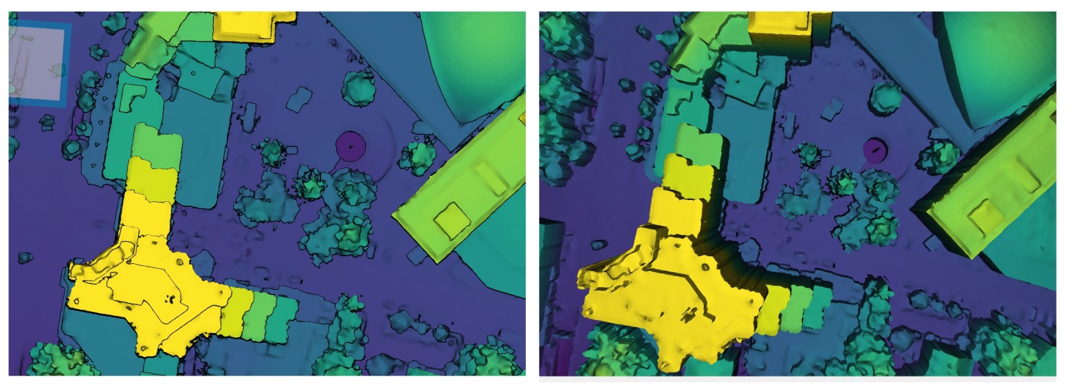
Pressing "L" toggles the shading mode on/off and can be helpful to see the image more clearly.
Input Image Overlay
Activate/deactivate the Input Image Overlay by clicking the ‘Input Image’ button or pressing 'C'.
Sort through multiple images that capture the same area by pressing the ‘Previous’ and ‘Next’ buttons or the left and right arrows.
The Input Image overlay works similarly to the True Ortho but can be a better guide in cases where two surfaces of different heights can’t be easily differentiated from the True Ortho perspective or the True Ortho has been affected by artifacts.
Pressing 'L' toggles the shading mode on/off and can be helpful to see the image more clearly.
Texture Tools
Field of view
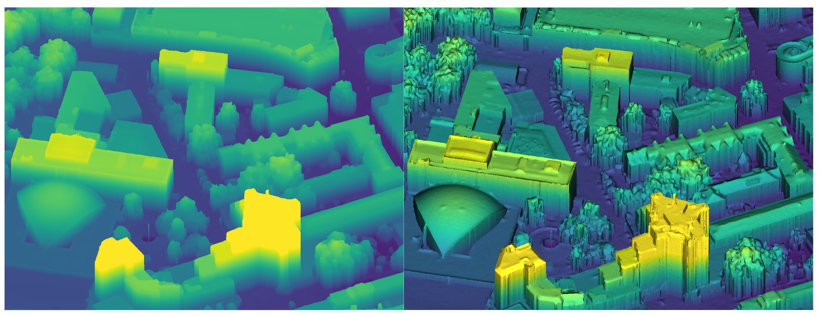
Shift + Scroll Wheel (down) to change the viewer's field of view up to a pseudo-orthographic projection.
This feature can be helpful while inspecting the quality of the DSM Mesh or while digitizing polygons.
Shading Mode
Press 'L' to toggle the shading mode on/off. This can give the DSM Mesh a more realistic texture.
Height-based Color Texture
Press 'T' to toggle between white texture or height-based color texture.
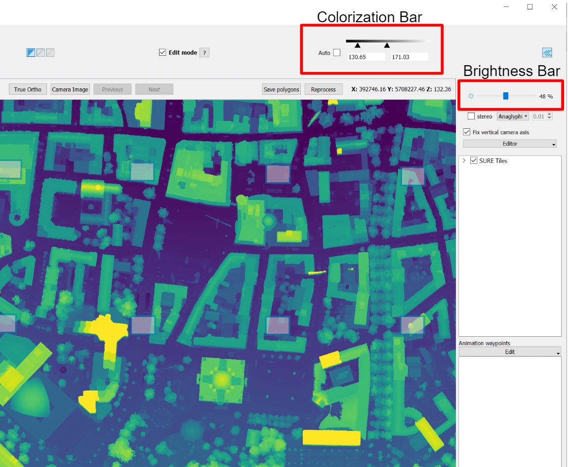
This also works with the image overlay being active. The color range can be adapted using the slider in the upper right corner as well as the brightness.
Align Mesh to North
Pressing 'N' aligns the mesh to North. This can aid when comparing the current view with GIS software.
