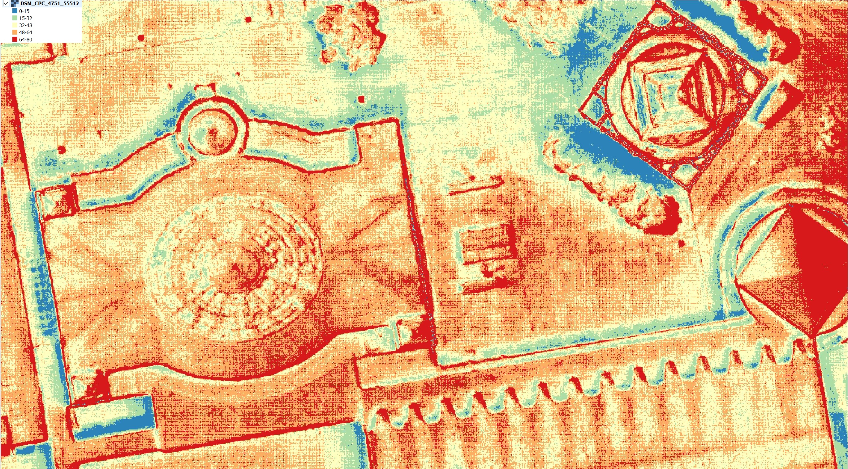
DSM
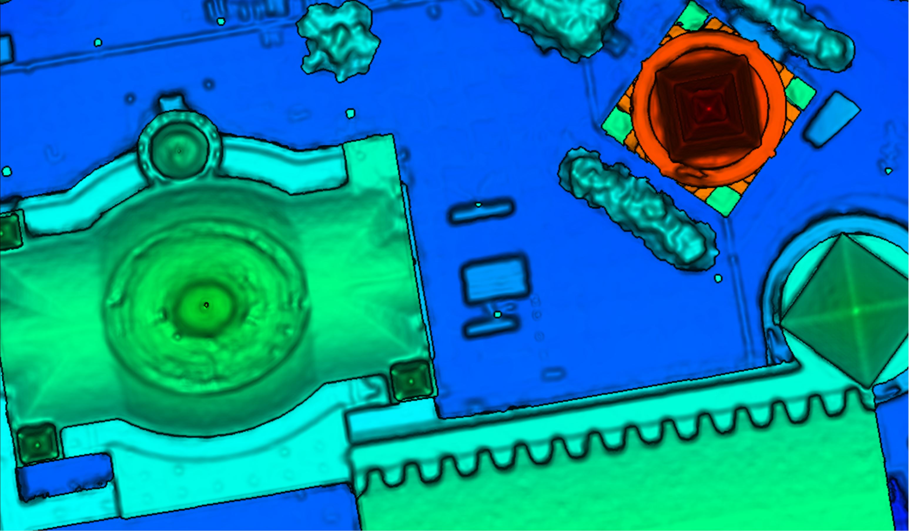

A DSM (Digital Surface Model) retains elevation data in a raster grid. This can be represented as a height image. Each pixel stores one elevation value corresponding to its (X,Y) position. Therefore this is a 2.5D surface representation. The resolution of the DSM (output GSD) coincides with the size of the pixel / raster cell or with the distance between two consecutive observations in row/column direction.
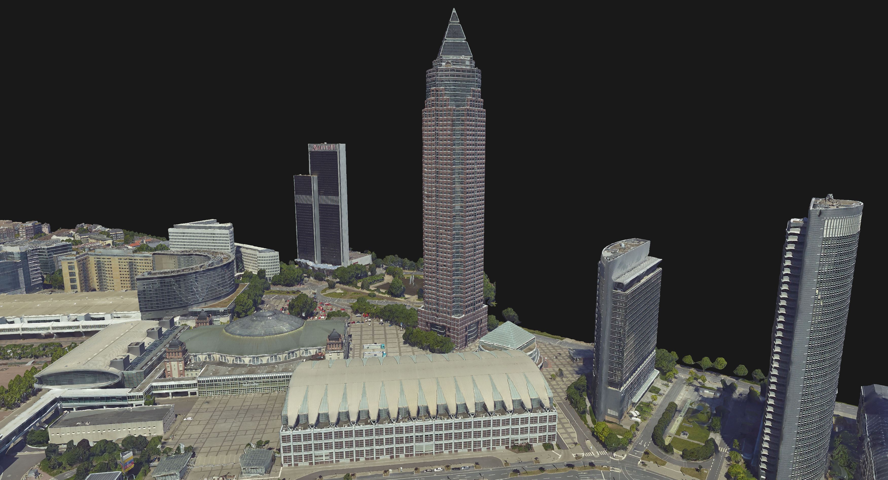
As the name implies, the DSM represents the surface of objects from the real landscape, in addition to the exposed terrain: vegetation, buildings or other structures, etc. This feature distinguishes it from a Digital Terrain Model (DTM) - which only represents the ground/terrain, excluding objects on top of it.
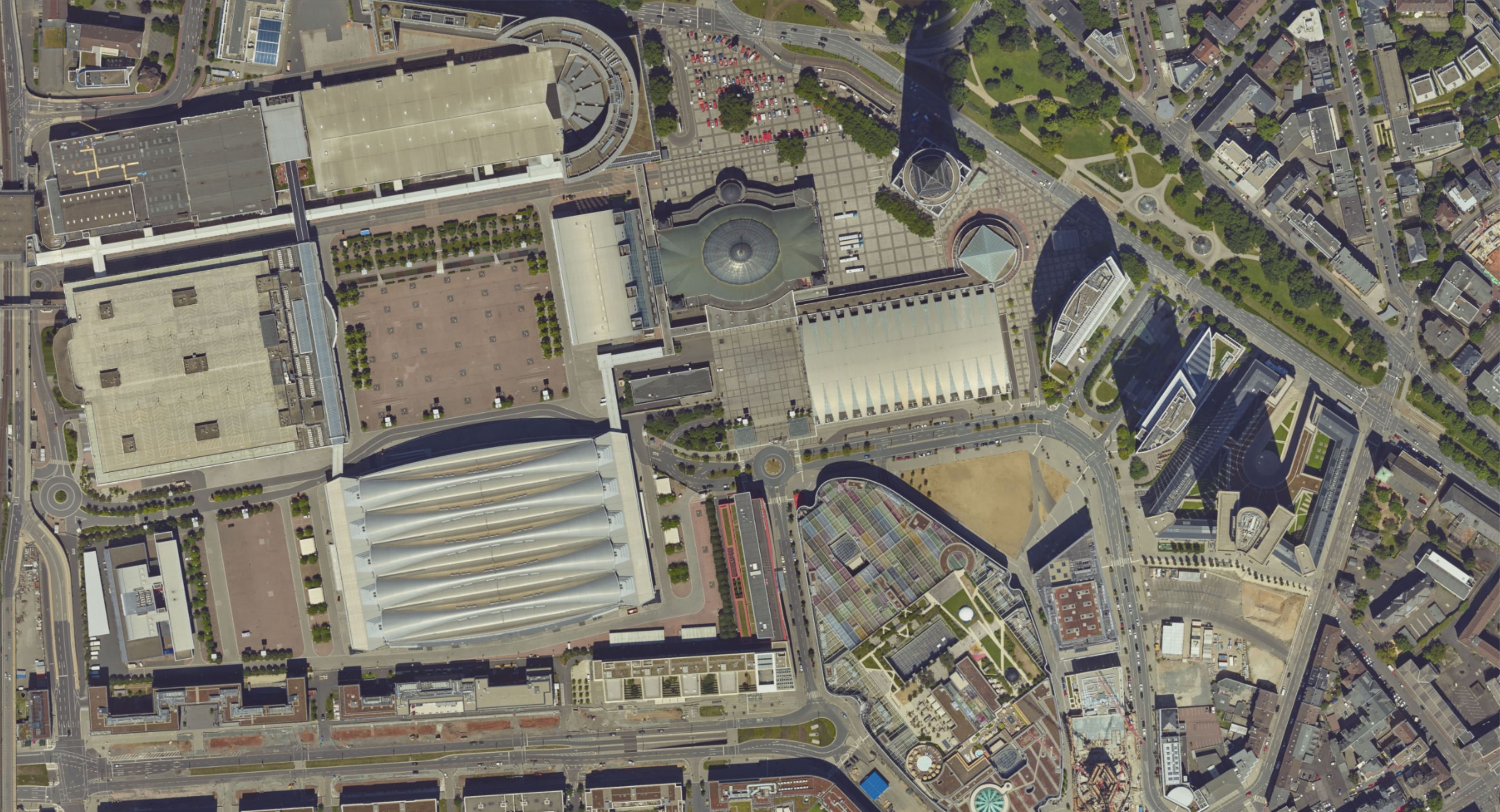
The DSM image takes a bird’s-eye view perspective and it is in fact an orthographic projection with a pixel-to-pixel correspondence to the True Ortho.
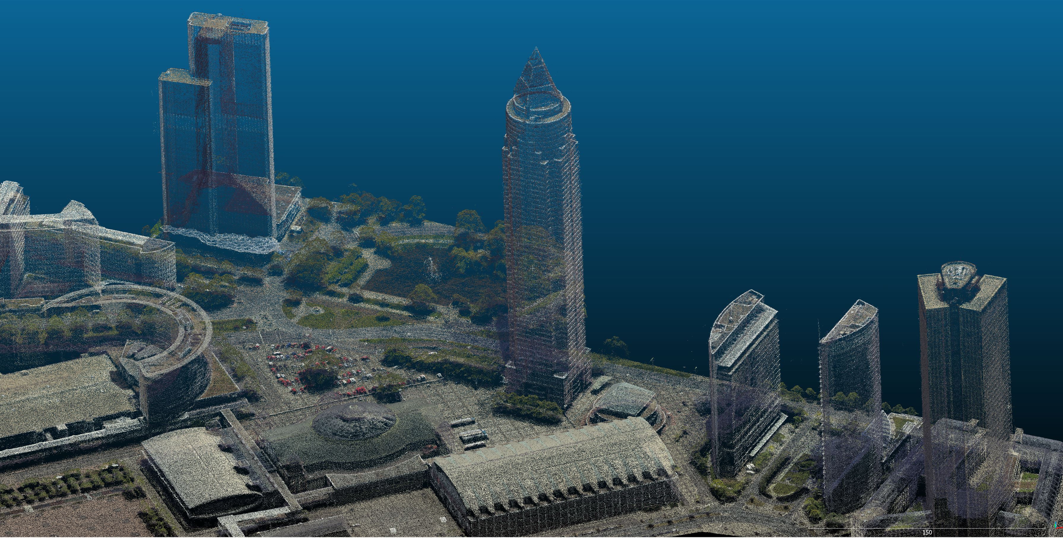
SURE can store the DSM in two formats: tif (32 bit image) and laz (Point Cloud). By default all Point Clouds are written in the compressed laz format, but can also be exported in las if required. Each point in the DSM Cloud corresponds to one raster cell (pixel). In addition to its coordinates, the points in the DSM las files retain also the RGB(I) fields as they are computed for the True Ortho tiles. See also Output Formats and Las Definition.
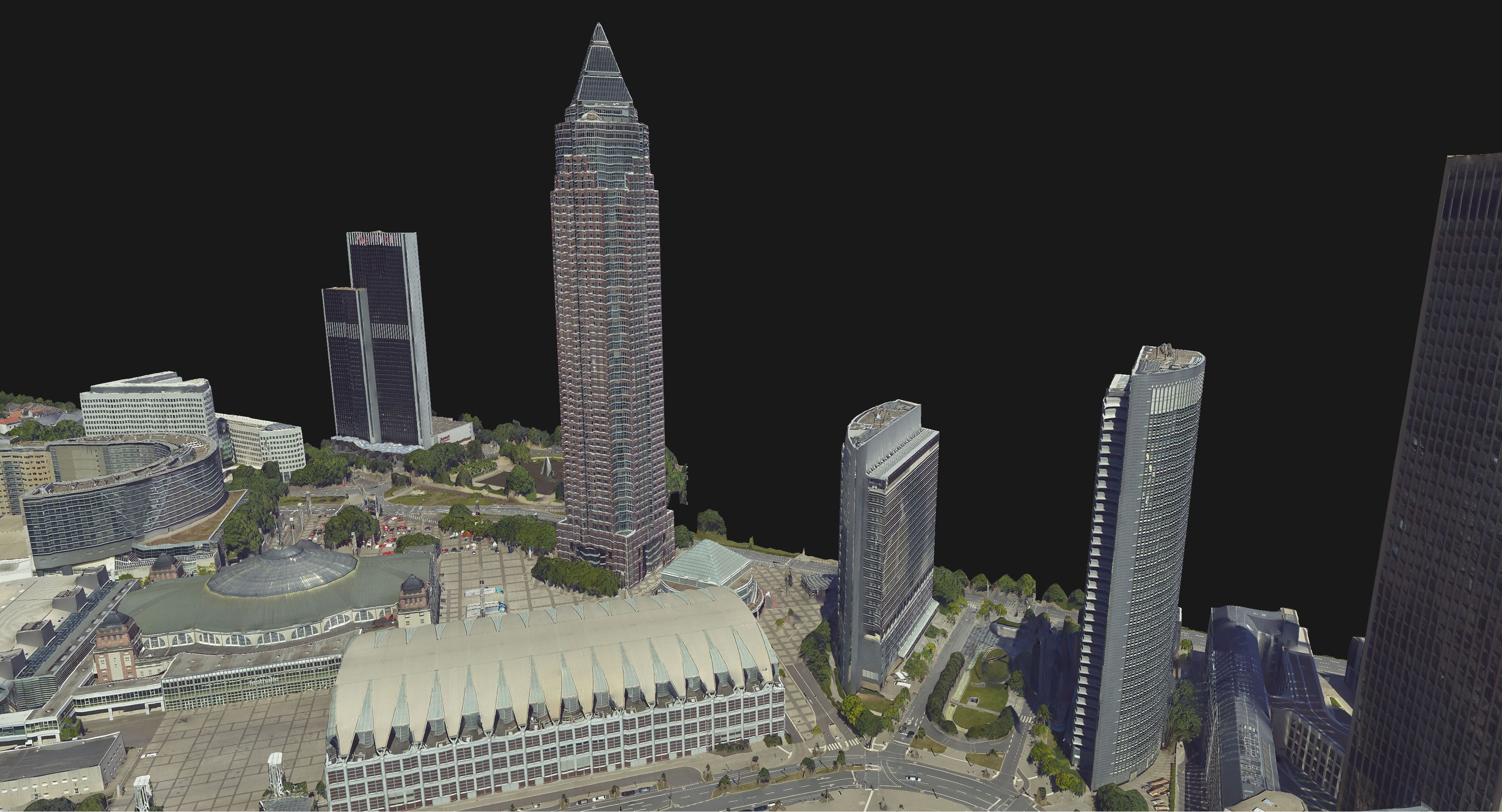
Although it can be viewed as a requirement for the True Ortho, the DSM carries value by itself, as it can be useful in a wide range of applications. Examples include: DTM production, building footprint extraction, LOD generation, etc.