Point Cloud Visualization
For the visualization of very large datasets (e.g. from aerial imagery) fast Level-of-Detail visualization engines are required. ArcGIS Pro has many tools to visualize and interact with large point cloud datasets. Visit this page for more information.
An open source alternative is CloudCompare, which supports the conversion to other 3D data formats and enables the usage of other programs such as Meshlab. It can be downloaded at http://www.danielgm.net/cc/
Workflow:
Using CloudCompare to visualize point cloud results:
Open the Point_Cloud folder within the SURE Directory or directly from SURE GUI.
Open CloudCompare Software
Select all .las files and drag-and-drop them into the CloudCompare main window
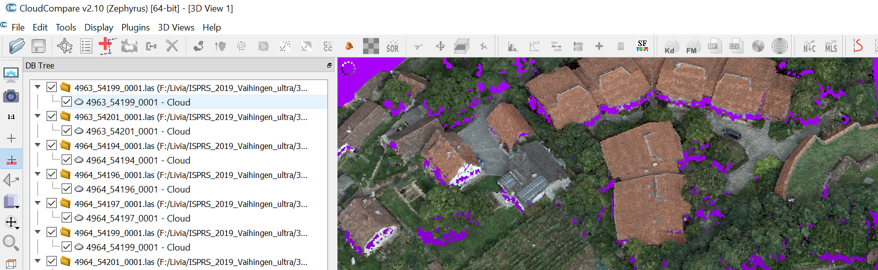
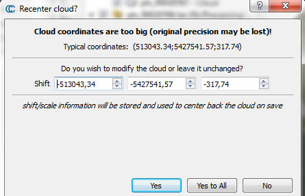
For very large coordinates with many digits (e.g. UTM) the message "Recenter cloud?" appears, since the digit count is limited.
Make sure to hit Yes to All to reduce all clouds by the same value. For this purpose, all clouds must be imported at once as well.
SURE & CloudCompare setup
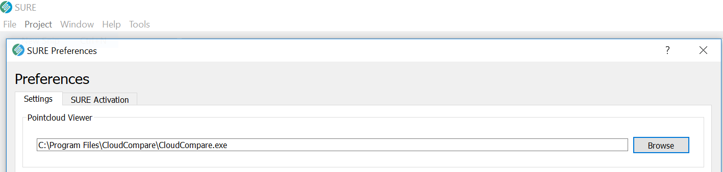
Point Cloud results can be opened by an external viewer. The external viewer can be specified via the SURE Preferences Panel.
Opening a Point Cloud from a SURE project can be done just by double clicking the point clouds from the Results Panel. The point cloud will be imported in CloudCompare.
Make sure to hit Yes to All.